ADDA starts community risk mapping to strengthen disaster resilience
Posted By
James MphandePosted on
28th Nov, 2025
About 3,500 households were affected by natural disasters during the 2024/25 rainy season.
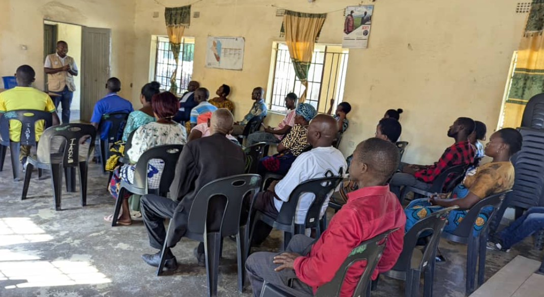
This was revealed by Humphrey Magalasi, Principal Disaster Risk Management Officer for Karonga District Council when the African Drone and Data Academy (ADDA) commenced a participatory risk mapping exercise in two group village areas of Mwakaboko and Mwangulukulu in the district.
The two areas were identified as they are known for their high exposure to natural disasters.
Magalasi said the mapping exercise will help generate reliable information to guide disaster preparedness and response strategies in these vulnerable areas.
Speaking during the activity, Henry Kawiro, representing Principal Group Village Head Mwakaboko, welcomed the initiative and emphasized its importance.
He noted that the community frequently experiences flooding which damages homes, crops, and essential infrastructure.
Kawiri expressed optimism that the exercise will empower local leaders and households with knowledge and solutions to reduce the impact of such disasters.
According to Steve Gondwe, ADDA lead for the mapping team, the risk mapping exercise is part of the Academy's broader mission to strengthen community resilience. It is supported by Unicef Malawi.
The exercise is expected to cover five districts of Machinga, Karonga, Chikwawa, Salima, and Phalombe.
Previous